Marmaris Beaches Compared: Seven Bays, Sedir Fees and Access
Table of Contents
Turkpidya coast guide · Checked 1 October 2026
Start with İçmeler for an easy beach day, choose Turunç or Kumlubük for a bay outing, and save Sedir Island for a day when the boat trip and ancient ruins are part of the appeal.
Marmaris gives you several very different kinds of coast. A café-lined promenade, a village jetty and a protected island beach are not interchangeable. The right choice depends as much on your journey back, the shade you need and what you want to pay for as it does on the colour of the water.
Which Marmaris beach fits your day?
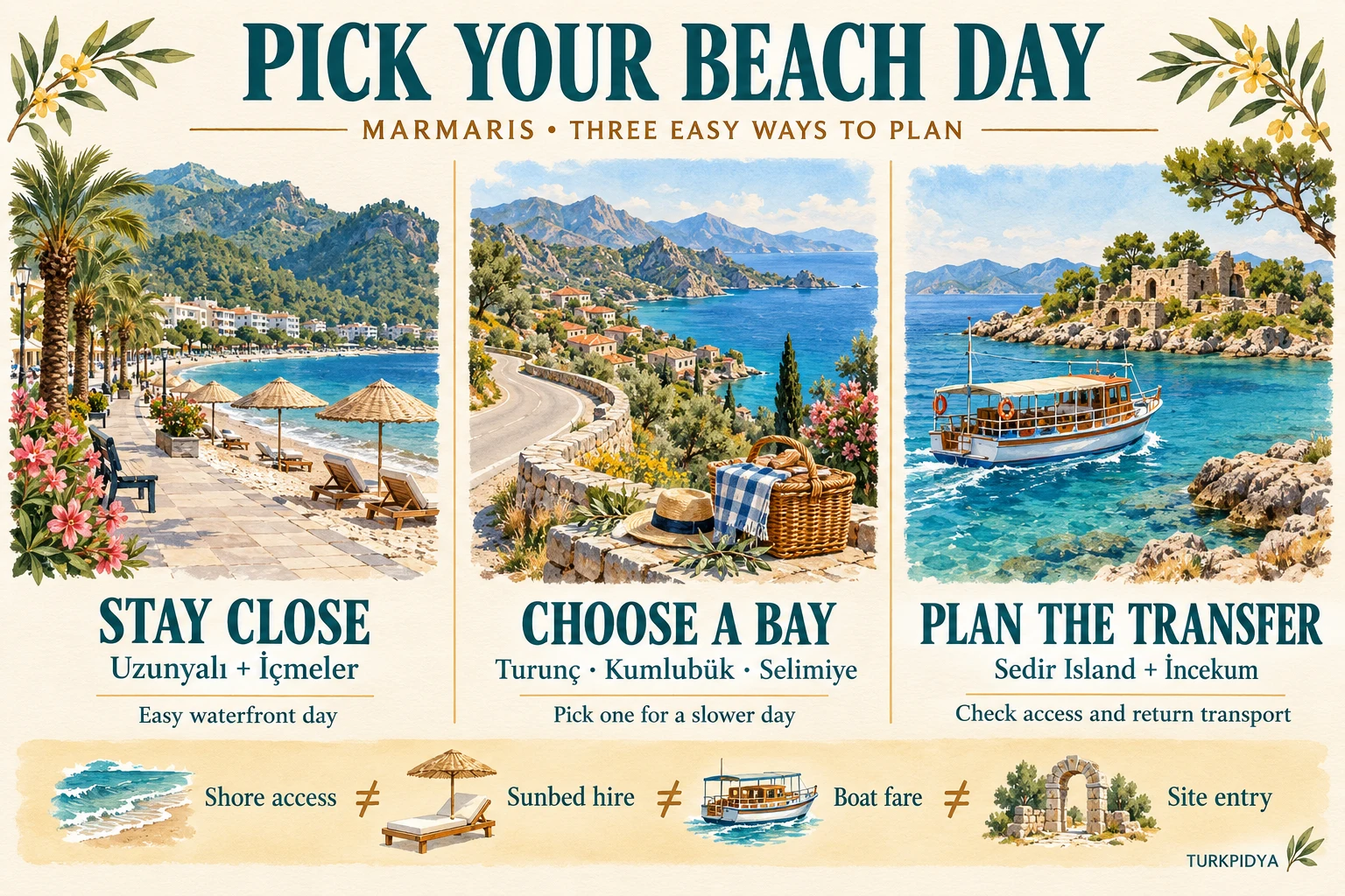
If you have only one free day, resist the urge to collect all seven. Selimiye is on a different outing from the Çamlı coast, while Turunç and Kumlubük lie beyond İçmeler. A shorter plan usually leaves more time for the thing you came for: being by the sea.
Keep it easy
İçmeler or Uzunyalı. Start here when nearby food, a promenade and a simple change of plan matter most.
Make a day of it
Turunç, Kumlubük or Selimiye. Pick one main destination, then decide whether a nearby stop adds to the day.
Plan the access
Sedir or İncekum. Check the boat or final transfer, opening arrangements and the return before leaving.
Your beach shortlist
Filter seven beaches. Compare your two favourites.
Choose by the kind of day you want. These are editorial planning groups, not live transport or safety ratings.
All seven choices are readable below. Filters and side-by-side comparison become available when JavaScript loads.
01 · Village + waterfront lunch
Selimiye
A slower village day, with a separate public-beach option at Sığliman.
About 43 km from Marmaris; allow for the peninsula roads. The village pin is not the Sığliman entrance.
02 · Protected sand + ancient Kedrai
Sedir Island / Cleopatra Beach
Choose a swim-and-history day with boat transport and site entry planned separately.
Boat only. Çamlı is the nearest mainland departure in official information; excursions also leave Akyaka.
03 · Services + sandy sections
İçmeler
A useful first choice when you want a beach, promenade and somewhere nearby to eat.
About 8 km from Marmaris. Check the day's local bus or boat service rather than assuming a fixed timetable.
04 · Compact bay + water activities
Turunç
A self-contained bay day with village restaurants and options for diving or a boat trip.
Hilly, winding road via İçmeler, or boat from Marmaris when running. Check departure and return details.
05 · Beach time + picnic or fish lunch
Kumlubük
Choose one stretch of shore and settle in, rather than trying to visit every bay.
About 25 km southwest of Marmaris in the tourism guide. Road access is via Turunç.
06 · Town convenience + promenade
Uzunyalı / Long Beach
The practical choice for a short beach break, a walk and an easy meal close to town.
Marmaris waterfront toward İçmeler. Find your chosen section before arranging a pickup.
07 · Fine sand + pine setting
İncekum (Marmaris / Çamlı)
A sand-focused day in the Çamlı area, with the final access arrangement checked first.
Opposite Sedir in the Çamlı area. An older municipal brochure describes a parking-to-beach tractor transfer; reconfirm it.
No beaches match those filters. Reset your choices to see all seven.
Your comparison
Seven places, seven different days
The beaches and bays, in detail
Distances are approximate destination references from official tourism sources, not measured hotel-to-beach routes. Map links for villages and bays do not pinpoint a particular operator, accessible entrance or parking space.
Selimiye: come for the whole waterfront
Choose Selimiye when lunch, a waterfront wander and time looking out over the bay matter as much as a long stretch of sand. It is a different proposition from a beach directly outside a Marmaris hotel: make the village the destination rather than treating it as a quick swim stop.
- Location: about 43 km from Marmaris
- Best fit: a slower village-and-sea day
- Check first: the exact beach or jetty you intend to use
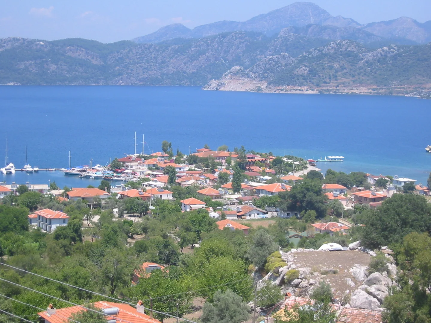
The waterfront has small places to stay and eat, but the whole village is not one public sandy beach. If a sandy shore matters more than sitting beside a restaurant, ask specifically for the municipal public beach in Sığliman. Marmaris Municipality described free umbrellas, showers, toilets and changing cabins there in its 2023 Selimiye public-beach announcement. That dated report is useful for finding the right place, not a guarantee that every facility operates unchanged today.
The tradeoff: the extra journey makes sense if you want to linger. It makes less sense if you need an effortless return to town or expect an empty bay in peak season. Ask a private waterfront venue whether its sunbed, jetty or table comes with a charge or minimum spend before you settle in.
Open the official guide’s Selimiye village map · This is not a verified pin for the Sığliman beach entrance.
Sedir Island: Cleopatra Beach and ancient Kedrai
Sedir is the choice for a swim-and-history day. The island lies in the Gulf of Gökova and includes the remains of ancient Kedrai. Cleopatra’s name belongs to the beach’s much-told legend; the protected sand is a natural geological formation, not evidence of a shipment from Egypt.
- Access: boat only, commonly via Çamlı
- Budget for: site entry and boat transport separately
- Main rule: leave the protected sand where it is
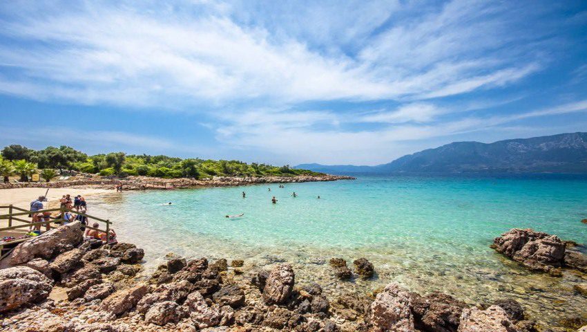
The official Sedir visitor information identifies Çamlı harbour as the nearest mainland route and also lists excursions from Akyaka. Ask where your boat actually departs, when it returns and whether the quoted fare includes site admission. A transfer-only ticket and a full-day excursion are different purchases.
The museum page checked on 1 October lists 09:00–17:30 opening, with the ticket office closing at 17:00. Recheck for your date and fit the ruins and swim around your return sailing. Bring footwear suitable for archaeological paths, then follow the current signs and staff instructions at the protected beach. Do not remove sand or assume that ordinary towel-and-sunbed arrangements apply in every marked area.
Which pass works? The official page says Turkish citizens with MüzeKart can buy a discounted ticket. It does not promise automatic free entry. The published MuseumPass Aegean coverage list includes Sedir. We have not independently confirmed this stop’s current inclusion in MuseumPass Türkiye, and no pass should be assumed to pay your boat fare.
The tradeoff: you gain ruins and an island setting, but give up the freedom to leave whenever you like. We are not printing a standalone ticket price without a reliably displayed current purchase tariff. For a wider museum itinerary, use our museum ticket and pass comparison tool, then confirm Sedir’s terms with the official source.
See the official Sedir island location · The pin is the island, not a driveable arrival point.
İçmeler: sand, services and a promenade
İçmeler is a sensible starting point if you are unsure which beach to choose. Its developed waterfront gives you places to eat and a promenade for a break from the sand. That flexibility is especially useful when different people in your group want different amounts of beach time.
- Location: about 8 km from Marmaris
- Best fit: a beach day with services nearby
- Surface: sandy sections; check your chosen spot
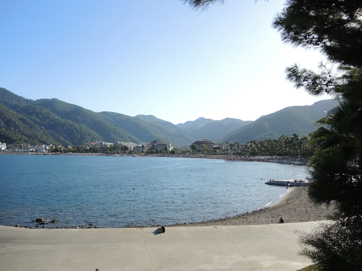
The Turaş Marmaris İçmeler public-beach listing records a 2026 Blue Flag award, sand, accessible toilets, a ramp and sea access with a ramp and handrail. This is useful section-specific information. It is not proof that every İçmeler beach has the same access, or that equipment and assistance are available on your travel day. Its listed Blue Flag season is 15 May–30 September.
Turaş states that person entry to its public beaches is free; do not read that as free loungers, umbrellas, parking or refreshments. Elsewhere along the bay, hotel and beach-business arrangements differ. Ask to see the price and where you may sit before accepting a chair.
The tradeoff: you get convenience rather than seclusion. Water-sports businesses operate in the wider resort, but check the exact activity, price and conditions with the provider. For a walk, start with the promenade. Do not turn an appealing hillside path or a mention of “İçmeler Canyon” into an unplanned canyoning trip.
Open the official guide’s İçmeler destination map · Confirm the particular beach entrance separately.
Turunç: a bay worth slowing down for
Turunç suits a day built around one bay: have a swim, find lunch, then decide whether you want a boat trip or a longer afternoon beside the water. The provincial guide lists restaurants, cafés, diving and water-sports options. Compare what is actually operating rather than expecting every activity to be available every day.
- Access: winding road via İçmeler or a boat when running
- Best fit: a self-contained bay day
- Check first: the last return connection
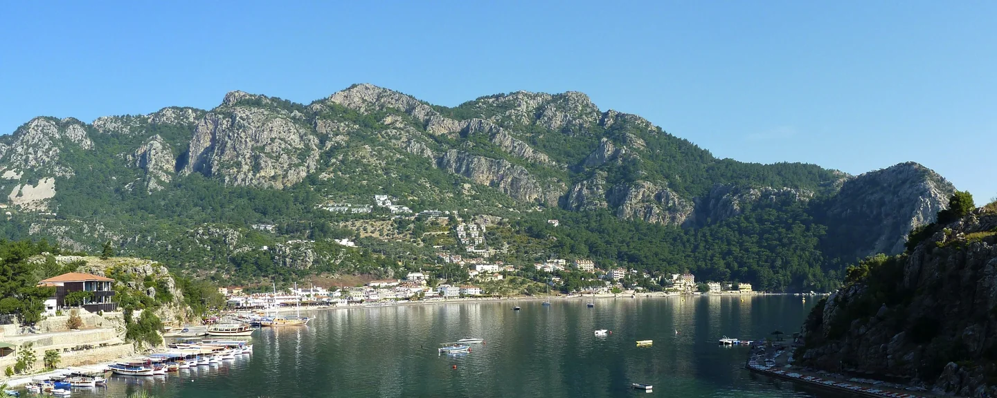
The road climbs and winds through the hills after İçmeler. The official description refers to an approximately 20 km approach, but that wording is not a reliable exact distance from your Marmaris hotel. Use a current route for your starting point and leave margin for the bends. If you prefer a boat, verify the departure pier, service date, fare and last sailing; “water taxi available” is not a timetable.
Blue Flag claims also need a precise beach name. The Turunç Resort beach listing records a 2026 award and a sand-and-pebble section. A hotel’s award, beach equipment or access conditions cannot be applied to the entire bay.
Add-on, if conditions allow: Amos lies between Turunç and Kumlubük and preserves ancient ruins above the coast. Treat it as a separate walking or sightseeing decision, with shoes, water and a checked route. Avoid fixed walking-time promises in summer heat, and check current forest-access restrictions before taking a path.
Kumlubük: choose your stretch of shore
Kumlubük works well when you want beach time to be the main event. Bring a cold picnic, or choose a waterfront restaurant and make lunch part of the outing. The useful decision is which stretch you will use and how you will get home, rather than whether the whole bay is “free” or “private”.
- Location: about 25 km southwest of Marmaris
- Road access: via Turunç
- Best fit: an unhurried beach-and-lunch day
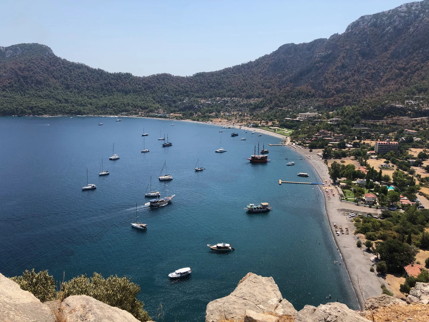
The official Kumlubük guide explicitly confirms road access from Turunç and highlights fish restaurants. GoTürkiye describes a sandy shore. Neither tells you that every water entry is stone-free or that a toilet, shower and rental chair are available beside every spot.
If you use a restaurant’s beach area, ask whether the sunbed is charged separately, included with a meal or subject to a minimum spend. If you plan a picnic, bring your own water, shade and a bag for rubbish, and check local rules on outside food at the facility you choose. A cooler and a cold meal are a better plan than assuming you can cook beside the forest.
The tradeoff: there is more to organise than on the town waterfront. Check the return journey before you commit, especially without a car. Do not rely on old claims that the water is always clear, always calm or drops to a particular depth: judge the actual entry and conditions that day.
Uzunyalı: the useful town option
Uzunyalı, often called Long Beach, is the urban waterfront running from Marmaris toward İçmeler. Choose it when you want an easy walk, nearby cafés and a beach break that can fit around the rest of your day. It is not the place to plan around an empty-shore fantasy.
- Setting: town promenade and businesses
- Best fit: short stays and flexible plans
- Budget lead: the municipal Halk Plaj Kafe
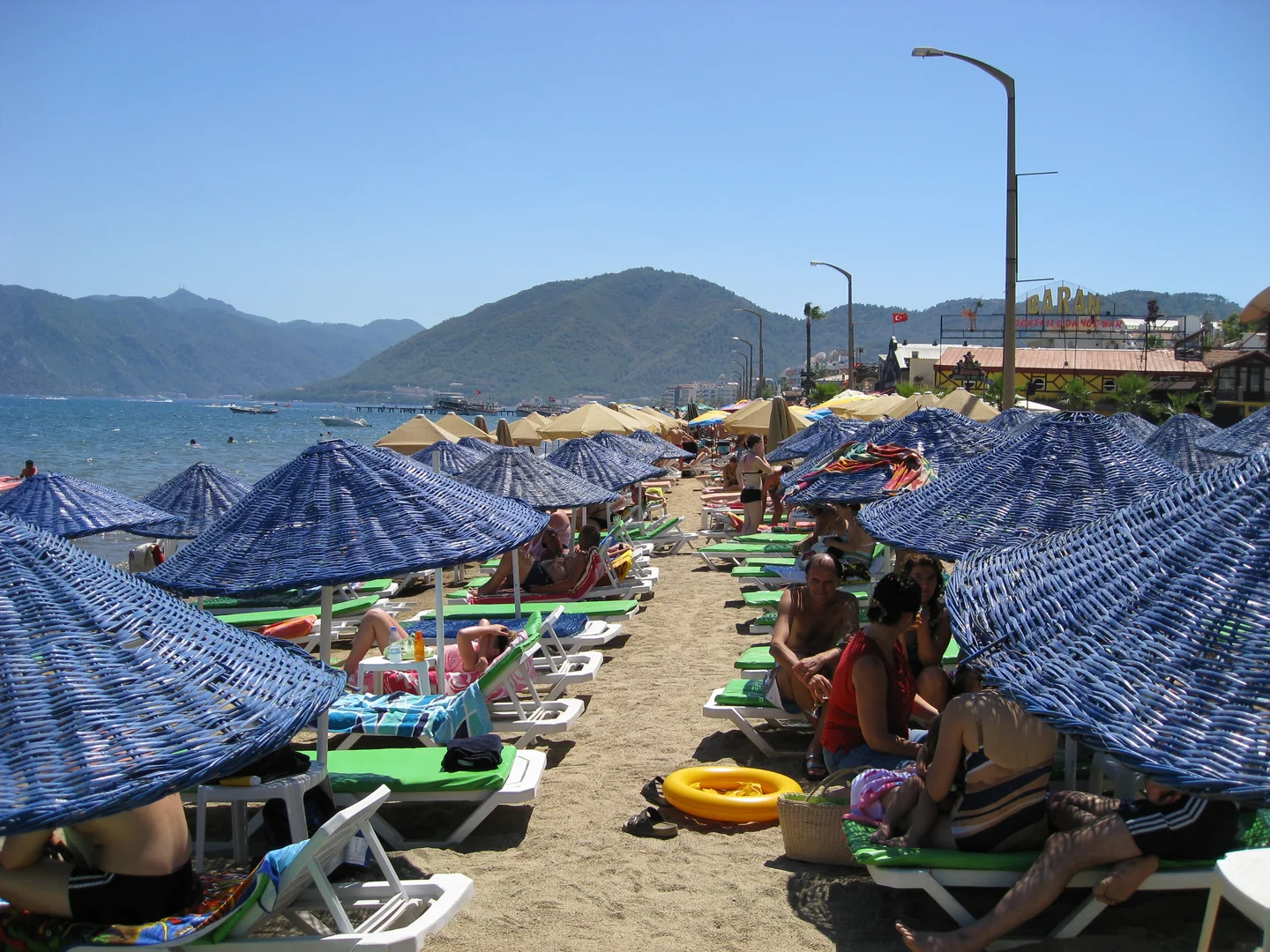
There is a genuinely useful, specific free-equipment option. On 8 June 2026, Marmaris Municipality announced free summer loungers and umbrellas at Halk Plaj Kafe on Uzunyalı, with no requirement to buy food or drinks. Café purchases are separate. This policy belongs to that municipal facility, not every business along Long Beach; check supply and seasonal operation when you arrive.
The tradeoff: town convenience comes with an urban resort setting. Pick your section after looking at its water entry, shade and activity around it. We have not verified a precise official pin for the municipal café entrance, so do not follow a generic “Marmaris public beach” pin and assume it is the same place.
İncekum: make sure you choose the Marmaris one
İncekum means “fine sand”, and more than one Turkish beach uses the name. This guide means İncekum in the Marmaris/Çamlı area, opposite Sedir, not the better-known namesake near Alanya. Check the destination before comparing directions, entrance prices or reviews.
- Setting: golden sand and pine trees
- Area: Çamlı, on the Gökova side
- Check first: final transfer and seasonal opening
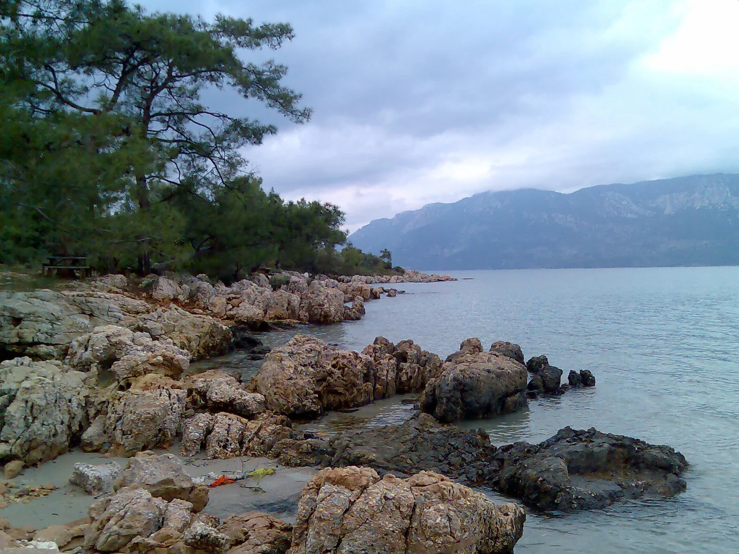
The Marmaris İncekum operator describes fine golden sand and pine shade, and lists 09:00–18:00 hours and +90 546 502 80 26. The page does not give a confirmed season calendar or a current numeric entrance tariff. Phone before a special journey, particularly near the start or end of the season.
The much-mentioned tractor ride comes from an older municipal description: visitors leave vehicles at a parking area and take a transfer to the beach. Confirm that today’s arrangement is the same, whether the transfer is included, how the return works and whether it suits anyone with limited mobility. Do not turn an old travel detail into a guaranteed daily service.
The tradeoff: the sand-and-pine setting needs more planning than a town beach. Ask separately about entrance, parking, transfer, sunbeds and umbrellas, plus current toilets and showers. GoTürkiye describes shallow water, but that is not a safety guarantee; check conditions and keep children closely supervised.
Open the operator’s Marmaris İncekum map · Verified destination: İncekum Plajı, Marmaris.
The question to ask before you sit down
What does “free beach” actually cover?
A place to reach the shore, a sunbed, a boat crossing and entry to an archaeological site are four different things. Ask for a clear total for your group rather than comparing a beach-only price with an excursion that includes transport and lunch.
For a beach business
- Is the charge per person, per chair or per set?
- Does it include an umbrella, shower, toilet or changing cabin?
- Is there a separate entrance charge or minimum food-and-drink spend?
- Are parking and any final transfer included?
For a boat or island trip
- Which pier does it leave from, and how do I reach it?
- Is the fare return, and is the return departure fixed?
- Is Sedir site admission included or paid separately?
- What happens if weather changes the sailing?
We found no reliable current numeric equipment tariff covering Selimiye, İçmeler, Turunç, Kumlubük or İncekum. Use the verified exceptions above without extending them to a whole bay. Once you have a quote, our Turkish lira currency converter can help you compare it with your home budget; your bank or exchange office may use a different rate.
Three realistic ways to plan your day
1. A flexible town day
Choose Uzunyalı or İçmeler, rather than scheduling both as compulsory stops. Swim, eat nearby and use the promenade when you want a change. This is the easiest plan to shorten if someone gets tired.
2. A bay and a long lunch
Make Turunç, Kumlubük or Selimiye the main destination. If you choose the Turunç side, Amos can be an optional separate stop when access, weather and your energy allow. Selimiye is its own peninsula outing.
3. The Çamlı-side day
Choose Sedir for a boat-and-ruins trip or İncekum for a sand-focused beach day. Their nearby locations do not make a two-stop day automatic: transfers, site time and the last return still determine what fits.
Before you leave
Save your precise destination and return details offline. Carry water, sun protection, suitable footwear and a way to pay. Ask about step-free access at the actual beach and transfer, not just at the hotel.
Hiking and camping need a separate check
The forestry authority’s 2026 Muğla fire-prevention notice identifies 1 June–31 October as a restricted forest-entry period. Check the current local order, permitted areas and closures before entering forest paths or planning a camp. An old trail recommendation or campsite photo is not permission. Use authorised camping facilities and follow their fire rules.
With children or a nervous swimmer: choose the actual section after checking water entry, flags, waves and lifeguard provision that day. “Shallow”, “Blue Flag” and “family-friendly” do not remove the need for close supervision. For a completely different coast comparison, see our Antalya beach chooser.
Where to check the details
Official tourism pages establish locations and general features. Operators and dated municipal announcements establish only the facilities or policies they actually name. Prices, transport, opening and beach conditions can change. This guide was checked on 1 October 2026.
- Muğla’s official guide to Marmaris bays and village maps
- Marmaris visitor brochure, including İçmeler
- Sedir opening hours, access and sand protection
- The named İçmeler public-beach facilities
- Turaş’s free person-entry policy
- GoTürkiye’s Aegean beach descriptions
- Older municipal village guide describing İncekum access
- Marmaris İncekum hours and contact