Artvin Province: What to See, Getting There and When to Go
Türkiye's far north-east province: the Çoruh valley and its dams, Camili and the lakes, old churches, the Sarp gate and the climate by month.
Table of Contents
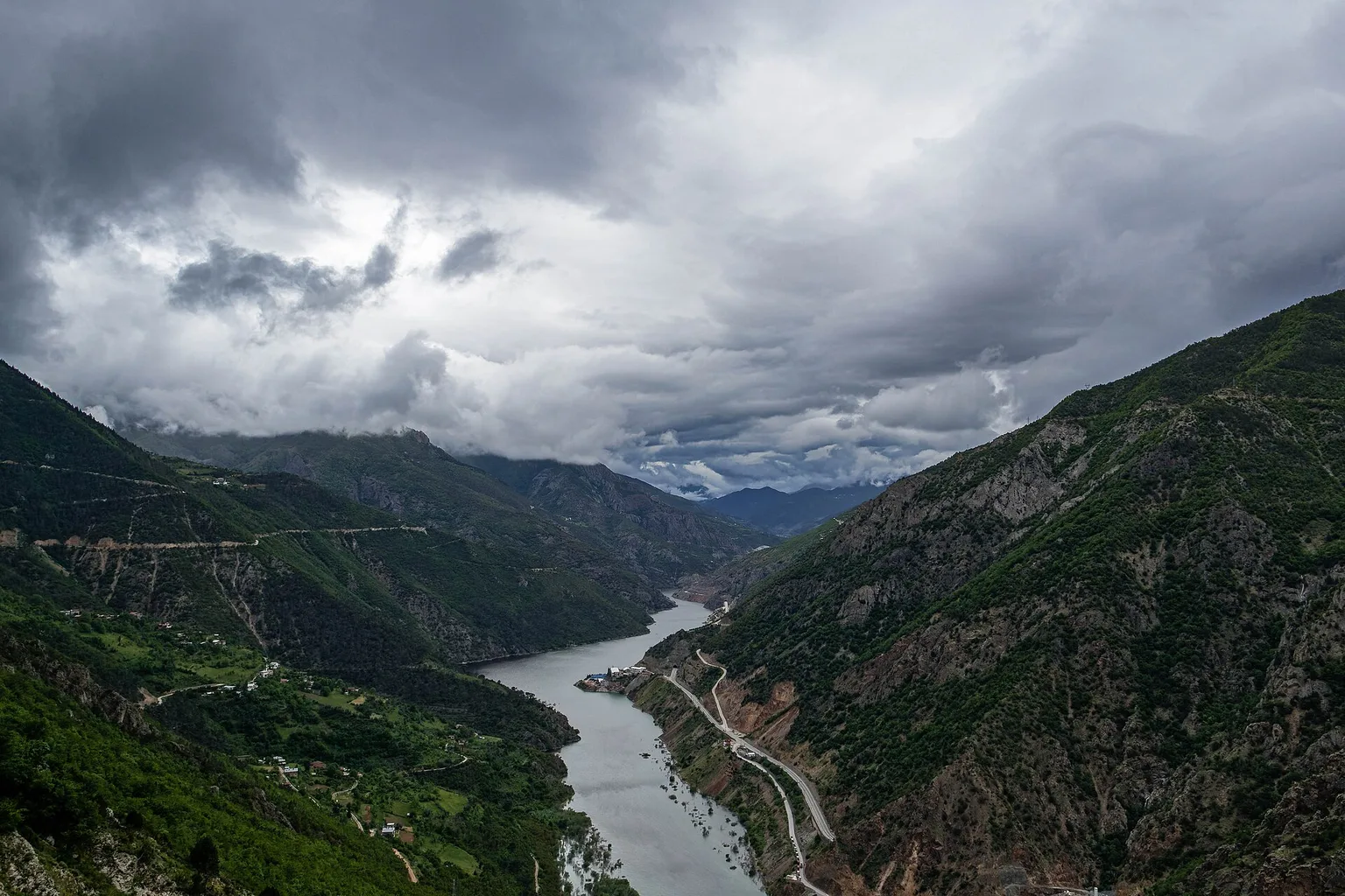
Artvin is a province in the far north-east of Türkiye, on the Black Sea coast and the Georgian border. Its city clings to the wall of the Çoruh valley, and the province climbs from the sea to the yayla, the high summer pastures, of the Kaçkar mountains.
In short · checked 26.10.2026
A province of steep valleys, built in steps above the Çoruh river.
- The city climbs from the river at 225 m to Çamlık, its highest quarter, at 800–900 m (heights from 1991, before the dams).
- Fly to Rize–Artvin Airport (RZV), opened in 2022 in neighbouring Rize province.
- Wettest in December and January, driest in July and August. MGM, the state weather service, station of 1949–2025.
- The old churches are not used for worship; they can be visited on request.
Tool · heights from 1991 · checked 26.10.2026
The city on a slope
Artvin is built in steps on the left wall of the Çoruh valley, and the steps are far apart in height. Press a quarter to see its height, what stands there and a line to say to a taxi or dolmuş (shared minibus) driver.
Heights from 1991, before the dams (TDV İslâm Ansiklopedisi, the Encyclopaedia of Islam of the Türkiye Diyanet Foundation). Up the slope the trees change from olive to fig and pomegranate, then plum and apple. The drawing is a sketch, not a survey.
TDV (1991): trees can be in bloom in Çayağzı while the quarters above lie under snow.
- Çayağzıriver bed 225 mThe lowest quarter, at the river. Its old name is Korzul. The Çayağzı Mosque was built in 1792–93 by Salih Bey, a lord of the Livâne sanjak (the Ottoman district around Artvin).Çayağzı Mahallesi’ne gider misiniz?Do you go to Çayağzı Mahallesi (Çayağzı quarter)?
- Orta Mahalle300–400 mThe quarter above Çayağzı, built between 300 and 400 m. Orta means middle.Orta Mahalle’ye gider misiniz?Do you go to Orta Mahalle (the Middle Quarter)?
- Çarşıabout 550 mThe bazaar (çarşı) and the business centre, and the most closely built quarter, because the slope allows it there. The Çarşı Mosque dates from 1861–62 and was rebuilt in 1953; the Çarşı Hamamı is the quarter’s hammam (Turkish bath).Çarşı Mahallesi’ne gider misiniz?Do you go to Çarşı Mahallesi (the bazaar quarter)?
- Dereabout 550 mDere (stream) was separate from Çarşı until the 1960s and has grown into it since. The Balcıoğlu Mosque stands here, rebuilt in 1921 on the site of an older mosque.Dere Mahallesi’ne gider misiniz?Do you go to Dere Mahallesi (Dere quarter)?
- Balcıoğlua little above DereJust above Dere on the slope. The Balcıoğlu Mosque, which shares its name, stands in Dere.Balcıoğlu Mahallesi’ne gider misiniz?Do you go to Balcıoğlu Mahallesi (Balcıoğlu quarter)?
- Yeni Mahallehigher stillOnce the village of İskebe, taken into the municipality. Yeni Mahalle means the New Quarter.Yeni Mahalle’ye gider misiniz?Do you go to Yeni Mahalle (the New Quarter)?
- Çamlık800–900 mThe highest of the seven quarters, spread between 800 and 900 m.Çamlık Mahallesi’ne gider misiniz?Do you go to Çamlık Mahallesi (Çamlık quarter)?
- Kafkasör1,100 m (TDV) · 1,250 m (directorate)Not a quarter but a yayla (summer pasture), 10 km from the city by asphalt road to the south-west. Once used only in summer; by 1991 it also had tourist buildings. Three springs there are called Cıskaro, Yalnızhasan and Acısu.
Where it is: a city built on a slope
Artvin is a province (il) and also the name of its main city. A province is divided into districts (ilçe), and the governorate (valilik, the state’s office in a province) lists nine: Artvin (the central district), Ardanuç, Arhavi, Borçka, Hopa, Kemalpaşa, Murgul, Şavşat and Yusufeli.
The city stands on the left wall of the Çoruh valley, on the steps of flat ground the slope allows. It has seven quarters (mahalle). The municipality’s list of headmen (muhtar, the elected head of a quarter) names them, and the tool above puts each on the slope.
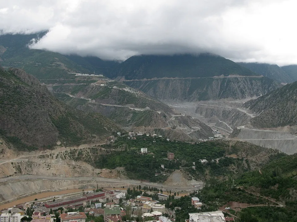
Roads follow the Çoruh valley: north to Borçka and over the coastal mountains to Hopa on the sea, south to Erzurum.
Getting there: by air and by road
Flights come into Rize–Artvin Airport, opened on 14.05.2022. It is a civil airport with domestic and international flights, and it stands in Rize province, next to Artvin.
How do you travel?
- Opened
- 14.05.2022. A civil airport with domestic and international flights, in Rize province.
- Codes
- RZV is the code booking sites use and LTFO the code pilots use. DHMİ (Devlet Hava Meydanları İşletmesi, the State Airports Authority), checked 26.10.2026
- The roads
- Roads follow the Çoruh valley: north to Borçka and over the coastal mountains to Hopa on the sea, south to Erzurum. TDV, 1991 print
- A hired car
- Prices, rules and what to check are in Car rental in Turkey.
- The cost of a trip
- Fuel and tolls for your own route: Turkey trip cost calculator.
Inside the city the quarters are far apart in height, so people ride between them. For each of the seven quarters, the tool above gives the line to say to a taxi or dolmuş driver. Coach travel in general (tickets, bags, cancellations) is in Kamil Koç bus.
The Çoruh valley: five dams and a moved town
The Çoruh is the river in the valley the city stands on. Five dams stand on it: Yusufeli and, downstream, Artvin, Deriner, Borçka and Muratlı. Rafting and the river’s other dams are in Rivers in Turkey.
DSİ (State Hydraulic Works) news · 22.11.2022
Yusufeli Dam: 275 m high, 2.3 billion m³ stored.
The power station has 558 MW of capacity and 1.9 billion kWh a year. DSİ says Yusufeli lets the four dams downstream work at their highest yield.
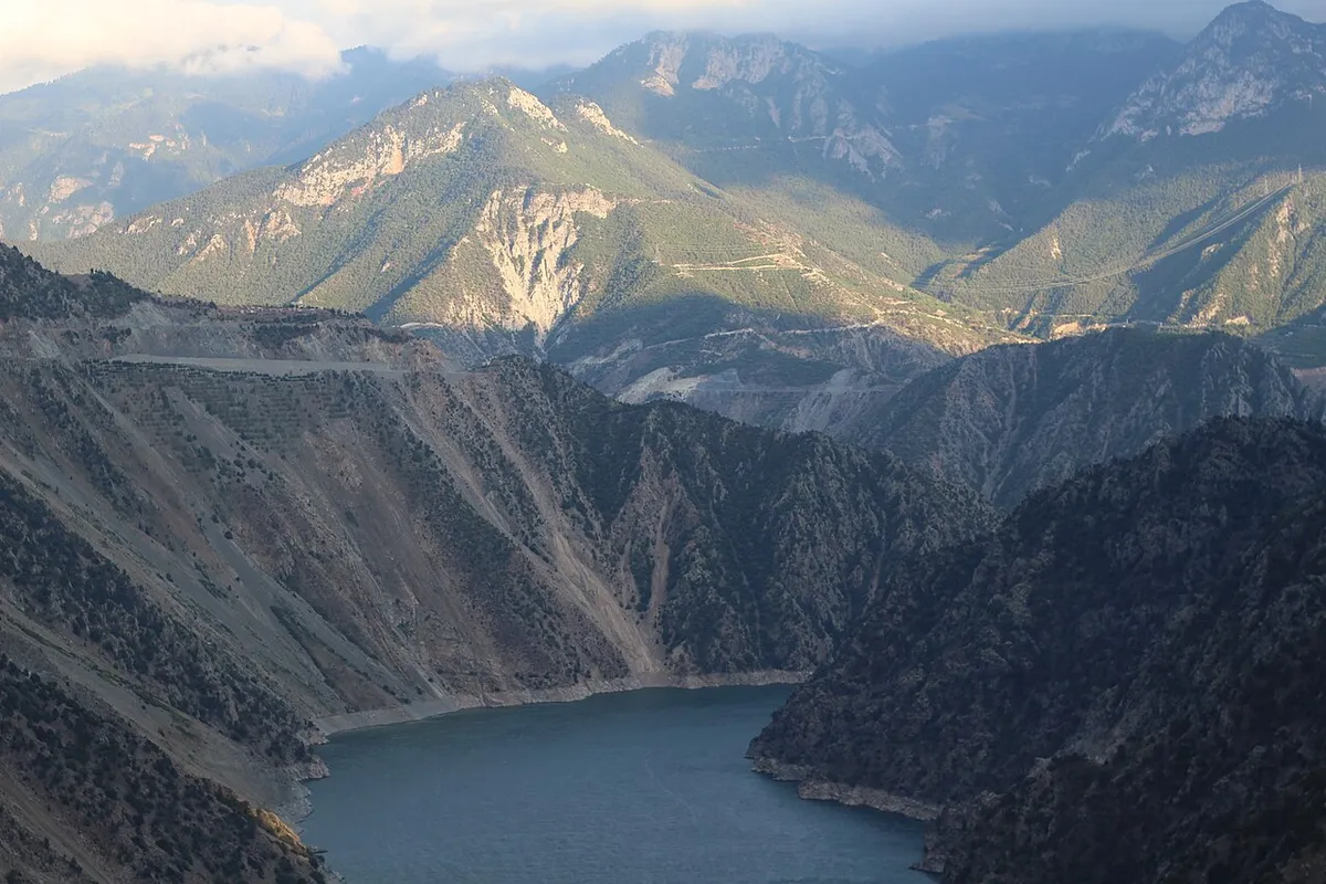
The new Yusufeli
The old town of Yusufeli lay in the valley the reservoir now fills. Its people left their homes and workplaces, and a new town was built for them, with these figures:
- Homes
- 2,698 homes in the town and 507 village houses.
- Work and services
- 296 workplaces, an estate of 37 shops, a 25-bed hospital and 9 schools from nursery to high school.
- Size
- Twice the area of the old town, with 7 villages.
- Roads
- 110 km of new road with 39 tunnels and 21 bridges.
- Soil
- 800,000 m³ of soil from the reservoir area moved to the new town.
DSİ news of 22.11.2022 · checked 26.10.2026 · page
The heights in the tool
They come from 1991, before these dams; among them is the 225 m river bed at the city.
TDV İslâm Ansiklopedisi · checked 26.10.2026
Parks and meadows: Karagöl, Hatila and the Kaçkar
Artvin has seven protected areas and eight yayla tourism centres, listed by the Artvin Culture and Tourism Directorate (İl Kültür ve Turizm Müdürlüğü, the ministry’s office in the province). A yayla is a high summer pasture, and a milli park is a national park.
Hatila Valley
A 10 km gravel road leads from the city centre. The directorate calls the valley’s geology and its plant community rare in Türkiye.
Karagöl–Sahara
In Şavşat district, 17 km from Şavşat town on the road to Ardahan. The forest is spruce and fir, and alpine-zone species grow around Kocabey yayla.
Borçka Karagöl
Karagöl means Black Lake. A dirt road runs 20 km east from km 27 of the Borçka–Camili road. Lynx, brown bear, chamois, grouse and birds of prey can be watched in the forest, and trout fished in the lake.
Kaçkar
The yayla lies 60 km from Yusufeli town on the south slopes. Yaylalar village is the stop for climbers. The nearest campsite, Dilberdüzü, has no services, and the directorate warns that climbing the 3,932 m summit from there without a guide is dangerous.
Kafkasör
10 km from the city by asphalt road to the south-west, at 1,250 m (the directorate; TDV gives 1,100 m). Three springs there are called Cıskaro, Yalnızhasan and Acısu.
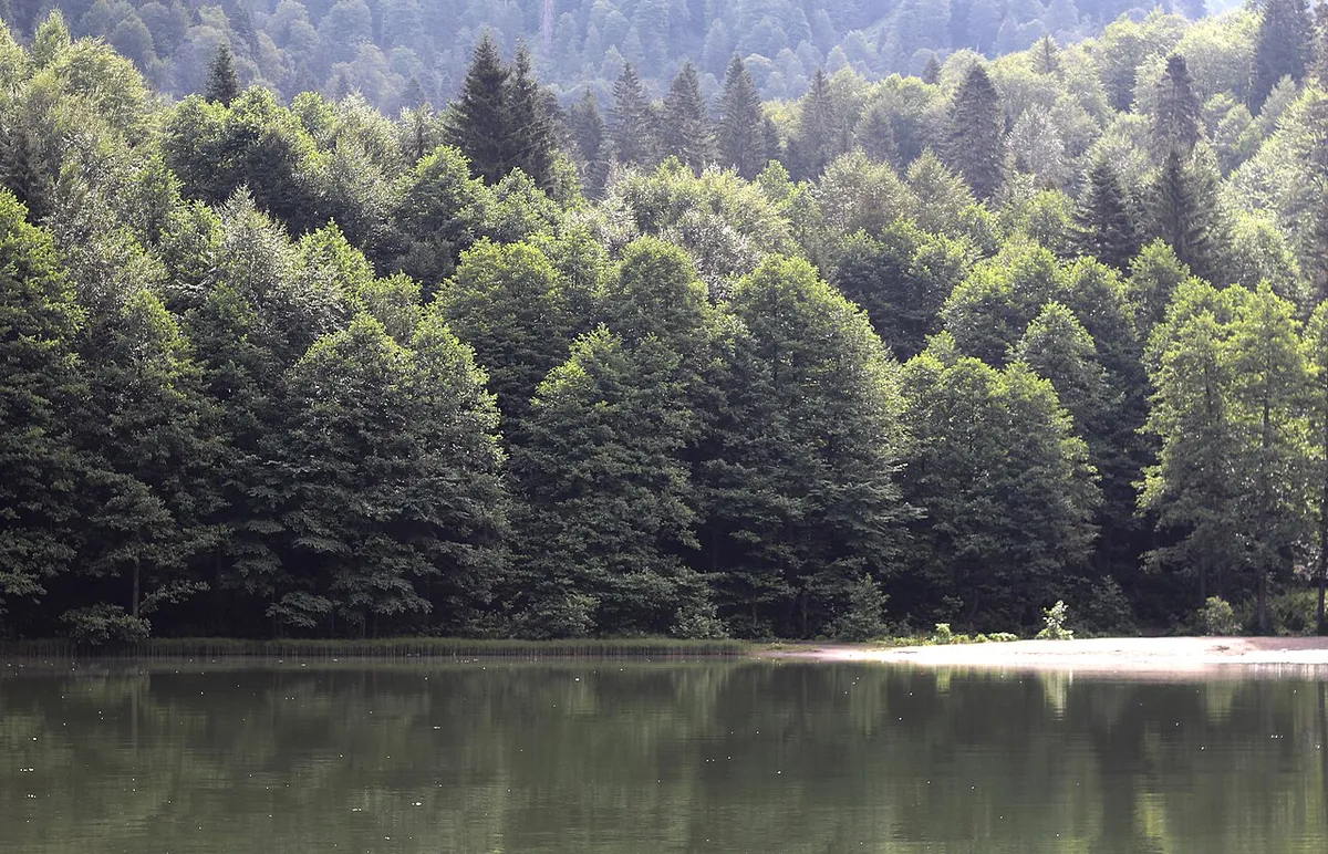
Two lakes are called Karagöl: one in Borçka district and one in Şavşat district, inside the national park. The other protected areas are the Balıklı–Maden wildlife protection area, the Çamburnu nature conservation area, the Kafkasör forest rest area, the Papart Valley natural site in Şavşat (a SİT, a legally protected site) and the Maçahel–Gorgit–Efeler nature conservation areas. The other yayla centres are Mersivan, Sahara, Bilbilan and Arsiyan. Walking routes are in Hiking in Turkey and Eco tourism in Turkey.
Camili (Maçahel): six villages and one reserve
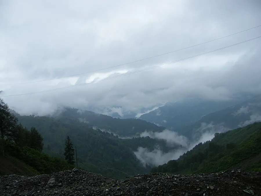
Camili is a basin with mountains on three sides and the Georgian border along its northern edge. It is listed by UNESCO as the Camili Biosphere Reserve, a protected area of its Man and the Biosphere programme, since 2005. It covers 27,152 ha and has 1,104 people. The area is also called Maçahel.
UNESCO, Camili Biosphere Reserve page · checked 26.10.2026 · page
The reserve in brief
- The land
- The Karçal Mountains rise to 3,415 m. Three main valleys cut the reserve: Uğur–Maral, Efeler and Düzenli.
- The villages
- Camili, Maral, Düzenli, Efeler, Kayalar and Uğurlu. They have traditional wooden houses of four to six rooms with balconies.
- Sights
- The Iremit Mosque in Maral village, Tamara’s Cave and an arched bridge at the entrance of Efeler village.
- Music
- The Polyphonic Elderly Choir, in which singers hold different lines at once, was registered in 2016 in Türkiye’s National Inventory of Living Human Treasures.
- Trees
- Black alder, oriental spruce, Caucasus lime and sessile oak.
UNESCO · checked 26.10.2026
The bee
UNESCO’s page says the basin is the only region where the Caucasus bee has stayed untouched and genetically pure. The directorate adds that beekeeping is widespread in the province and its honey is known regionally.
UNESCO · Artvin Culture and Tourism Directorate · honey page · checked 26.10.2026
The directorate describes the Maçahel–Gorgit–Efeler nature conservation areas as old-growth forest with monumental trees and a rain-forest ecosystem, with 3,200 mm of rain a year. For comparison, the city’s own station measures 694 mm a year (see the weather chapter).
Old churches and castles: and a city that changed hands
Nine churches are listed in the province: Barhal (Altıparmak), İşhan Monastery, Dört Kilise (Four Churches), Dolishane (Hamamlı), Porta Monastery, Tibeti, Yeni Rabat, İbriga Chapel and Köprülü Church. They are not used for worship and can be visited on request. Three of them and the city’s castle:
İşhan
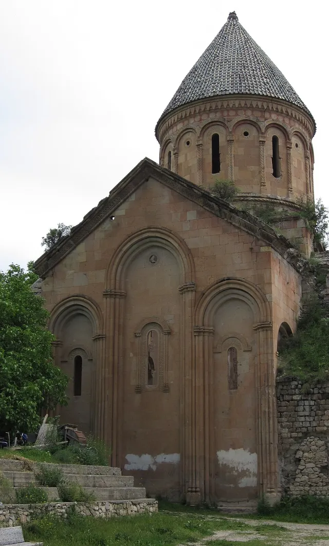
In İşhan village, Yusufeli district, 7 km up a road that leaves km 92 of the Artvin–Erzurum state road. A manuscript of 951 says the priest Seba built it with the support of King Adarnase. The directorate dates the building work to 955–1027. It is a domed basilica 35 m long, with a chapel of the Virgin Mary to the south-west.
Barhal (Altıparmak)
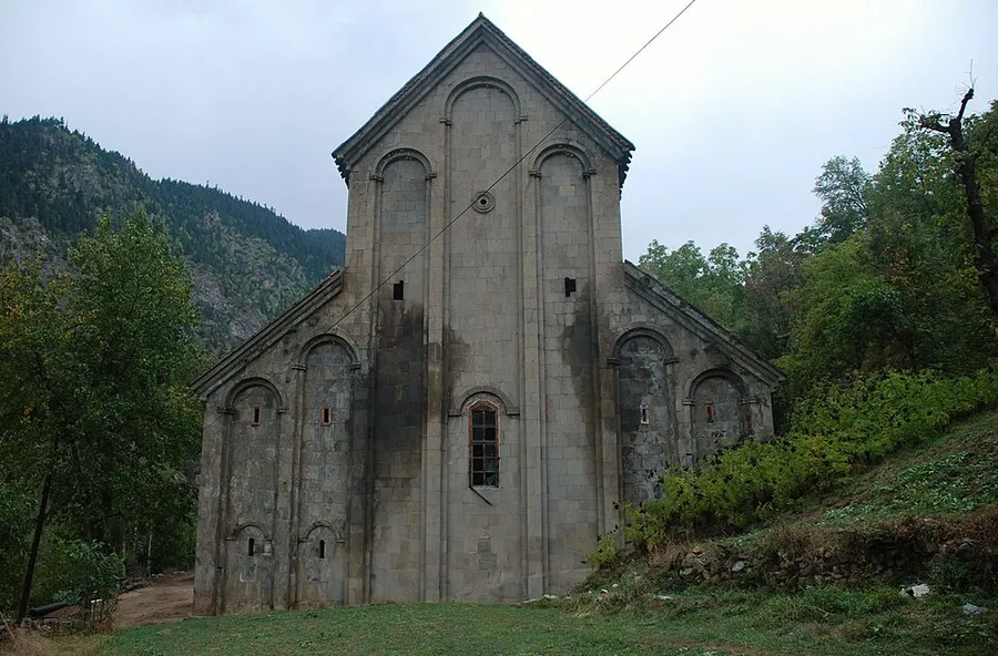
In Altıparmak village, 30 km by road from Yusufeli town. The directorate dates it to the 9th century and says it was dedicated to John the Baptist. In 1677 Hacı Şerif Efendi repaired it and made it a mosque. It is a three-aisled basilica of cut stone, with plant reliefs over the windows in good condition.
Dört Kilise
In Tekkale village, 4 km south-west of Yusufeli, then 7 km on a hamlet road. The directorate dates it to the 9th century. Its bell tower, refectory, seminar room and chapel show it was a nuns’ school, and its plan is like Barhal’s.
Artvin (Livane) Castle
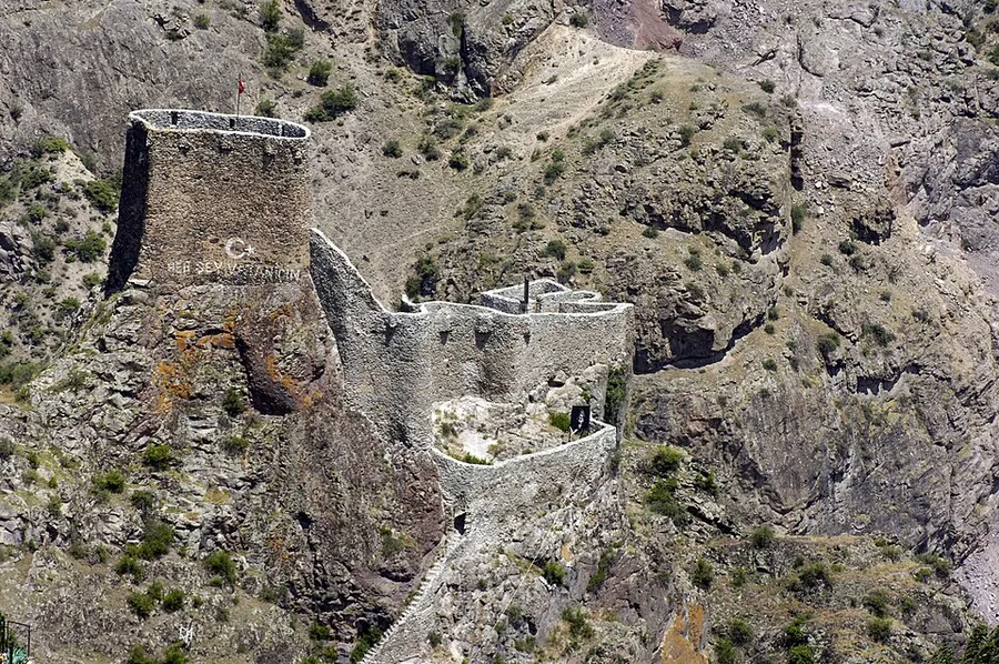
At Köprübaşı, in the city. The directorate thinks it was built in the 10th century and repaired in the 16th; a cistern and a small chapel stand inside. TDV dates the first Livâne castle to 939.
How did the city change hands?
- 939
- Livâne Castle is built, the core of today’s city.
- 1068
- Seljuk rule begins to take hold around Artvin.
- 1536–37
- The Ottomans form the Livâne sanjak, a district named after the castle. They lose it and retake it in 1549.
- 1579
- The sanjak joins the new Çıldır province.
- June 1828
- The Russian occupation. After the Edirne treaty the Çıldır province breaks up, and Artvin becomes a district centre of the Batum sanjak.
- 13.07.1878
- The Berlin Treaty leaves Artvin, Kars and Ardahan to Russia. Residents may emigrate freely for three years.
- 02.11.1914
- Russian forces leave Artvin. About four months later they return.
- 18.12.1917
- Russia leaves under the Erzincan Armistice. In March 1918 Ottoman units enter.
- 30.10.1918
- The Mondros armistice sends the Ottoman army back. British forces take over on 17.12.1918 and leave in April 1920, handing the city to Georgia.
- 27.02.1921
- Artvin returns to Turkish rule. The new Turkish government had sent an ultimatum to the Republic of Georgia on 22.02.1921, and the reply of 23.02.1921 said Artvin and Ardahan would be given up. The Moscow Treaty of 16.03.1921 confirms it.
- 07.07.1921
- Artvin becomes a sanjak, and in 1924 a province.
- 1933 to 1936
- The province is abolished in 1933 and Artvin joins a Çoruh province centred on Rize. Since 04.01.1936 a new Çoruh province has Artvin as its centre.
- 17.02.1956
- The province takes the name Artvin.
The dates are those of TDV and the Culture Portal (the ministry’s portal on places and traditions), which print the same text (checked 26.10.2026).
The coast: Hopa and the Sarp gate
Hopa, on the sea, is where the road from Artvin reaches the coast. Sarp (Sarp Sınır Kapısı) is the road border gate to Georgia on this coast.
Entry papers for drivers (passport, vehicle documents, insurance): Turkey’s land borders. The hazelnut, one of the things to buy in Artvin, is in Turkish hazelnuts.
What people eat and take home
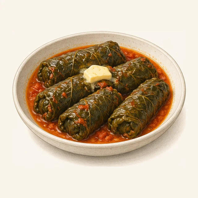
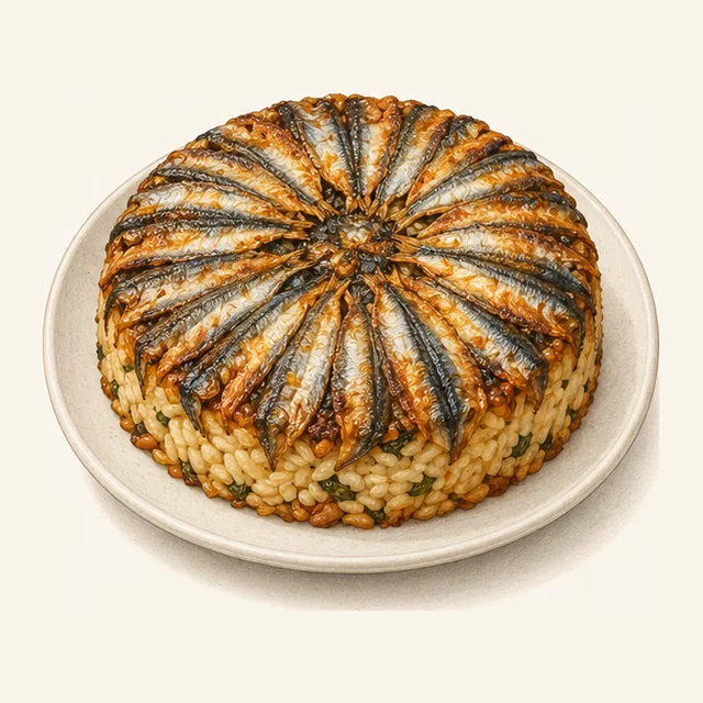
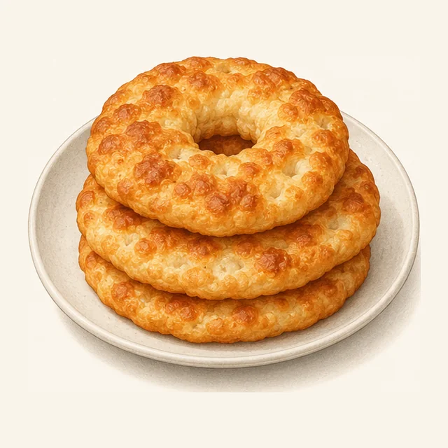
The directorate calls the table of Artvin rich in soups, milk dishes, dishes of wild greens, pastries, meat dishes and sweets. Four dishes follow; each picture is an illustration, not a photograph of a restaurant’s plate.
 Dessert
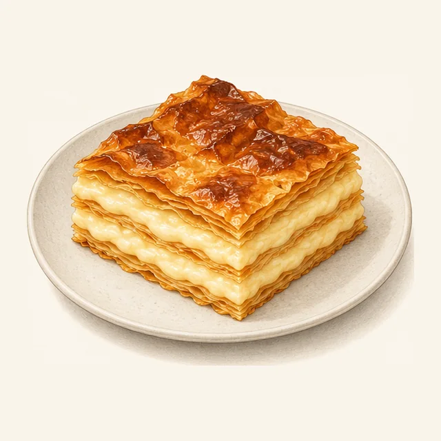
Laz böreği
A cold dessert: thin sheets of dough with a thick milk custard (muhallebi) between them, baked and served cold.
 Main dish
Karalahana sarması
Leaves of black cabbage (karalahana) rolled round a filling of rice and minced meat and simmered in tomato and butter. It is eaten all year in every district.
 Fish and rice
Hamsili pilav
Anchovies (hamsi) lined round a round tray, rice with pine nuts and currants poured in, more fish on top, then baked at 220 °C for 35 to 40 minutes. See Fish in Turkey.
 Fried bread
Bişi
Yeast dough rolled into discs the size of a plate, with a hole in the middle, and fried on both sides.
More local dishes
- Milk: peynir kuymağı, a dish of milk products with cheese (peynir).
- Beans: puçuko, a dish of dried green beans.
- Meat: kışlık kavurma, a meat dish for winter (kışlık).
Artvin Culture and Tourism Directorate · page · checked 26.10.2026
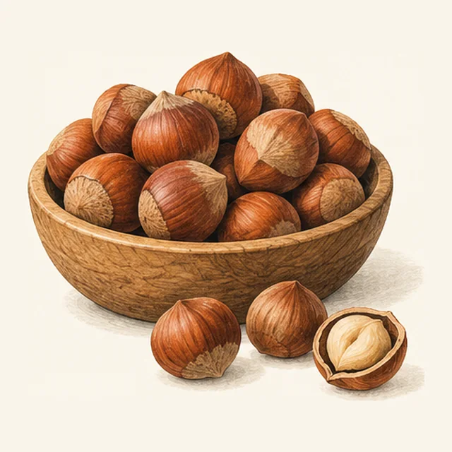
To take home: hazelnuts, walnuts, olives, mulberry molasses and honey. Farming in general is in Agriculture in Turkey.
 Nut
Fındık (hazelnut)
About 25 varieties exist; in Artvin most grow in Arhavi and Borçka. Where hazelnuts grow in Türkiye and how to buy them: Turkish hazelnuts.
 Nut
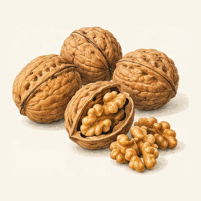
Ceviz (walnut)
Walnut trees grow in the districts of Yusufeli, Borçka and Ardanuç.
 Fruit
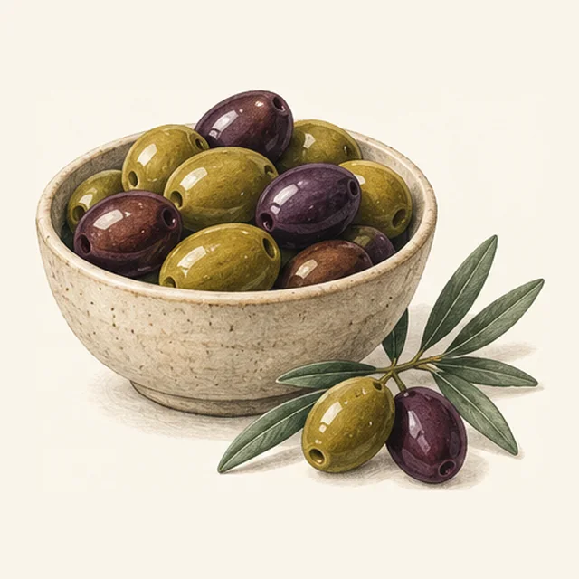
Zeytin (olive)
Olive trees grow along the Çoruh River, often in Yusufeli and in the central district. In the city the olive groves lie on the lowest part of the slope.
 Syrup
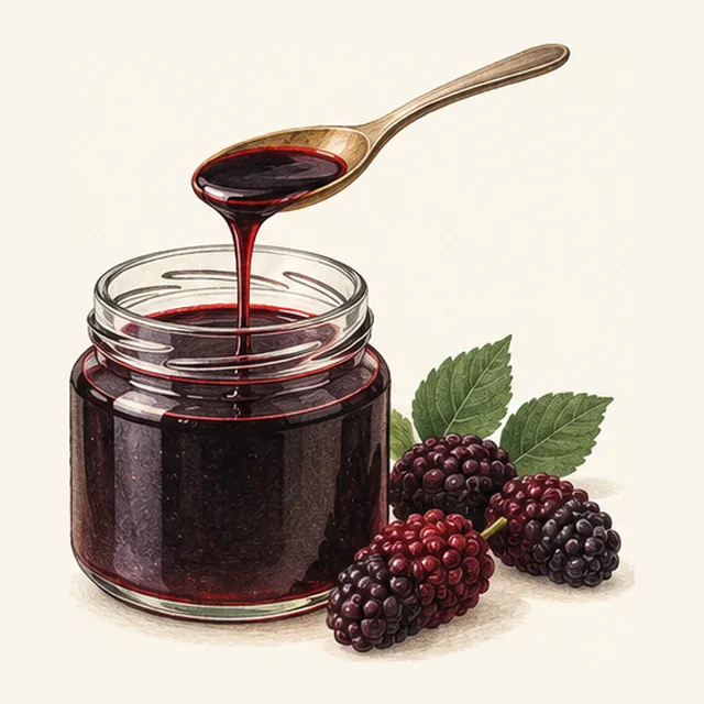
Dut pekmezi (mulberry molasses)
Mulberries are boiled in water for about half an hour, strained and pressed. The juice is boiled down again, with the foam skimmed off, until it flows like honey.
 Honey
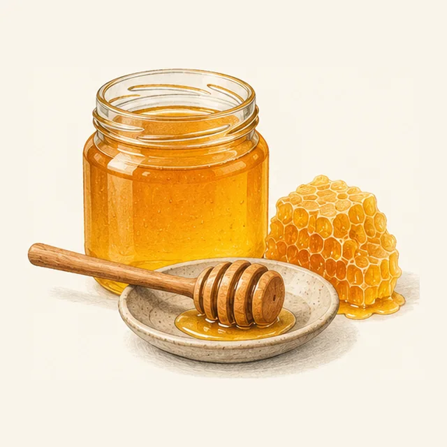
Bal (honey)
The directorate says the province’s plant cover is rich, beekeeping is widespread and honey from Artvin is known regionally.
When to go: the weather month by month
The tool below has a line for each month from the MGM station in the provincial centre (Meteoroloji Genel Müdürlüğü, the State Meteorological Service), for the years 1949 to 2025. The figures describe the city; the sea coast and the high meadows have their own weather.
Tool · weather from MGM · checked 26.10.2026
Weather by month
Press a month to read the station’s numbers for it, and copy them.
MGM Artvin station, 1949–2025, in the provincial centre
All twelve months in a table
| Month | Mean °C | Daily high / low °C | Rain mm | Rainy days | Record low / high °C |
|---|---|---|---|---|---|
| Jan | 2.8 | 6.4 / −0.1 | 84.6 | 13.0 | −16.1 / 18.9 |
| Feb | 3.8 | 8.4 / 0.5 | 72.2 | 12.6 | −11.9 / 21.5 |
| Mar | 7.1 | 12.5 / 3.0 | 60.5 | 13.5 | −9.8 / 28.4 |
| Apr | 12.0 | 18.0 / 7.3 | 52.7 | 12.7 | −7.1 / 34.4 |
| May | 15.9 | 21.9 / 11.2 | 53.8 | 14.1 | −0.6 / 36.7 |
| Jun | 18.9 | 24.3 / 14.4 | 48.4 | 12.6 | 3.7 / 39.0 |
| Jul | 20.9 | 25.9 / 17.0 | 31.7 | 8.4 | 9.5 / 42.0 |
| Aug | 21.3 | 26.5 / 17.3 | 28.7 | 8.1 | 9.5 / 43.0 |
| Sep | 18.4 | 24.0 / 14.3 | 39.0 | 8.6 | 4.2 / 41.5 |
| Oct | 14.2 | 19.7 / 10.3 | 60.8 | 11.0 | −1.6 / 33.9 |
| Nov | 9.1 | 13.5 / 5.8 | 74.9 | 10.9 | −8.2 / 27.9 |
| Dec | 4.5 | 8.0 / 1.9 | 86.8 | 11.7 | −10.8 / 20.9 |
| Year | 12.4 | — | 694 | 137 | −16.1 / 43.0 |
Year: mean of the monthly means; rain and rainy days added up.
Worked out from MGM’s monthly table
12.4 °C, 694 mm, about 137 rainy days.
Year: mean of the monthly means; rain and rainy days added up.
- December to FebruaryMeans of 2.8 to 4.5 °C. January (84.6 mm) and December (86.8 mm) are the wettest months.
- March to MayMeans climb from 7.1 to 15.9 °C. May has the most rainy days, 14.1.
- June to AugustMeans of 18.9 to 21.3 °C. July (31.7 mm) and August (28.7 mm) are the driest months, with about 8 rainy days each.
- September to NovemberMeans fall from 18.4 to 9.1 °C, and the rain returns: 39.0 mm in September, 74.9 mm in November.
MGM, Artvin station, 1949–2025 · checked 26.10.2026 · page
Records at the station
The highest temperature measured is 43.0 °C (August) and the lowest −16.1 °C (January). The most rain in one day was 93.4 mm on 02.01.1989, the deepest snow 142 cm on 03.02.1989, and the fastest wind 24.7 m/s on 26.11.2023.
MGM · checked 26.10.2026
Quick answers in a few lines
Where is Artvin?
In the far north-east of Türkiye, on the Black Sea coast and the Georgian border. The province has nine districts, and its city stands on the wall of the Çoruh valley.
How do I get there by air?
Fly to Rize–Artvin Airport (RZV), opened on 14.05.2022. It lies in Rize province, next to Artvin.
How high is the city?
The river bed at the city is 225 m and the highest quarter, Çamlık, 800–900 m (1991 heights, before the dams).
Can I visit the old churches?
They are not used for worship and can be visited on request.
What is Camili?
A basin on the Georgian border with six villages, listed by UNESCO as a biosphere reserve since 2005 (27,152 ha). The area is also called Maçahel.
Which dams are on the Çoruh?
Yusufeli (275 m high) and, downstream, Artvin, Deriner, Borçka and Muratlı.
When is it driest?
July and August, with 31.7 and 28.7 mm of rain at the MGM station in the city.
What is a yayla?
A high summer pasture. Artvin has eight yayla tourism centres, among them Kaçkar and Kafkasör.
Sources and limits
Show the pages checked
- ARTVİN — TDV İslâm Ansiklopedisi (1991 print), checked 26.10.2026
- Artvin: genel bilgiler — Türkiye Kültür Portalı, checked 26.10.2026
- Laz böreği — Türkiye Kültür Portalı, checked 26.10.2026
- Karalahana sarması — Türkiye Kültür Portalı, checked 26.10.2026
- Hamsili pilav — Türkiye Kültür Portalı, checked 26.10.2026
- Bişi — Türkiye Kültür Portalı, checked 26.10.2026
- Artvin Valiliği (districts, offices) — Artvin Governorate, checked 26.10.2026
- Muhtarlarımız (the quarters) — Artvin Municipality, checked 26.10.2026
- Artvin: yıllık iklim değerleri, 1949–2025 — MGM, State Meteorological Service, checked 26.10.2026
- Yusufeli Barajı ve HES hizmete alındı (22.11.2022) — DSİ, State Hydraulic Works, checked 26.10.2026
- Camili Biosphere Reserve — UNESCO, checked 26.10.2026
- Rize-Artvin Havalimanı — DHMİ, State Airports Authority, checked 26.10.2026
- Kiliseler — Artvin Culture and Tourism Directorate, checked 26.10.2026
- Kutsal yerler — Artvin Culture and Tourism Directorate, checked 26.10.2026
- İşhan Manastır Kilisesi — Artvin Culture and Tourism Directorate, checked 26.10.2026
- Barhal (Altıparmak) Kilisesi — Artvin Culture and Tourism Directorate, checked 26.10.2026
- Dört Kilise — Artvin Culture and Tourism Directorate, checked 26.10.2026
- Artvin (Livane) Kalesi — Artvin Culture and Tourism Directorate, checked 26.10.2026
- Hatila Vadisi Milli Parkı — Artvin Culture and Tourism Directorate, checked 26.10.2026
- Sahara-Karagöl Milli Parkı — Artvin Culture and Tourism Directorate, checked 26.10.2026
- Borçka – Karagöl — Artvin Culture and Tourism Directorate, checked 26.10.2026
- Kaçkar Turizm Merkezi — Artvin Culture and Tourism Directorate, checked 26.10.2026
- Kafkasör Turizm Merkezi — Artvin Culture and Tourism Directorate, checked 26.10.2026
- Maçahel-Gorgit-Efeler Tabiatı Koruma Alanları — Artvin Culture and Tourism Directorate, checked 26.10.2026
- Yayla Turizmi — Artvin Culture and Tourism Directorate, checked 26.10.2026
- Korunan Alanlar — Artvin Culture and Tourism Directorate, checked 26.10.2026
- Yöre Mutfağı — Artvin Culture and Tourism Directorate, checked 26.10.2026
- Bal — Artvin Culture and Tourism Directorate, checked 26.10.2026
- Fındık — Türkiye Kültür Portalı, checked 26.10.2026
- Ceviz — Türkiye Kültür Portalı, checked 26.10.2026
- Zeytin — Türkiye Kültür Portalı, checked 26.10.2026
- Dut pekmezi — Türkiye Kültür Portalı, checked 26.10.2026
Photos are from Wikimedia Commons, each with its author, date, licence and file page in the caption. The pictures of dishes and products are illustrations made for this guide.
This guide is general information. Hours, access and rules change; read the directorate’s and the governorate’s pages before you travel.